Today, like yesterday, road networks and mobility are essential in the configuration of landscapes, understood as cultural creations. Since their inception, roads have allowed people and goods to circulate, connecting territories and urban settlements. These infrastructures have made it possible to socially, culturally and economically enhance the wealth of their towns.
The Roman road system was constructed over sections of pre-existing routes; however, for the first time, this signified the creation of an organized, hierarchical network with a broad geographical scope. As the first major pan-European state, the Roman Empire was the first society to encounter the need to design and build roads throughout its empire, creating a network of more than 300,000 kilometers of roadway. This immense network branched out in all directions, connecting its capital, Rome, to the rest of its territories, from large cities to small towns and villages.
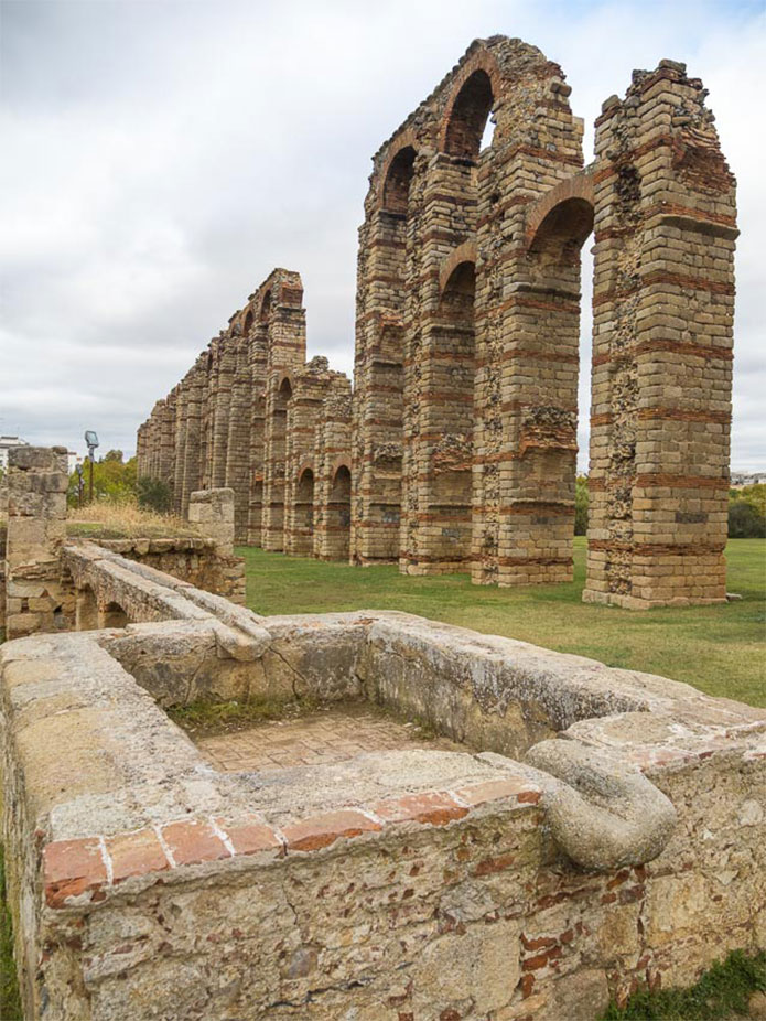
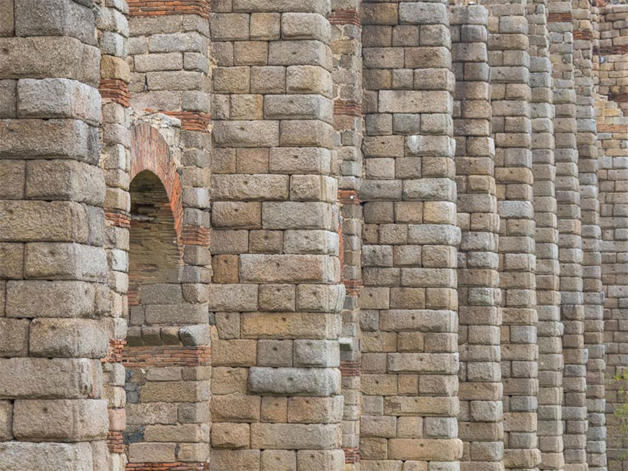
Rome used its engineering knowledge to design and build the most advanced and complex road systems ever seen. These Roman infrastructures had many purposes; obviously, on the one hand, to facilitate communication and the transport of goods, but also to enable the creation of the Cursus Publicus, a very efficient postal transport system never before seen in Europe. Finally, they also served quite an important propagandistic purpose; in the incorporated territories, Roman public works were intended to demonstrate the power of Rome, based on its technological knowledge and the durability of its constructions. This is why Roman roads, bridges, tunnels and aqueducts have survived to this day.
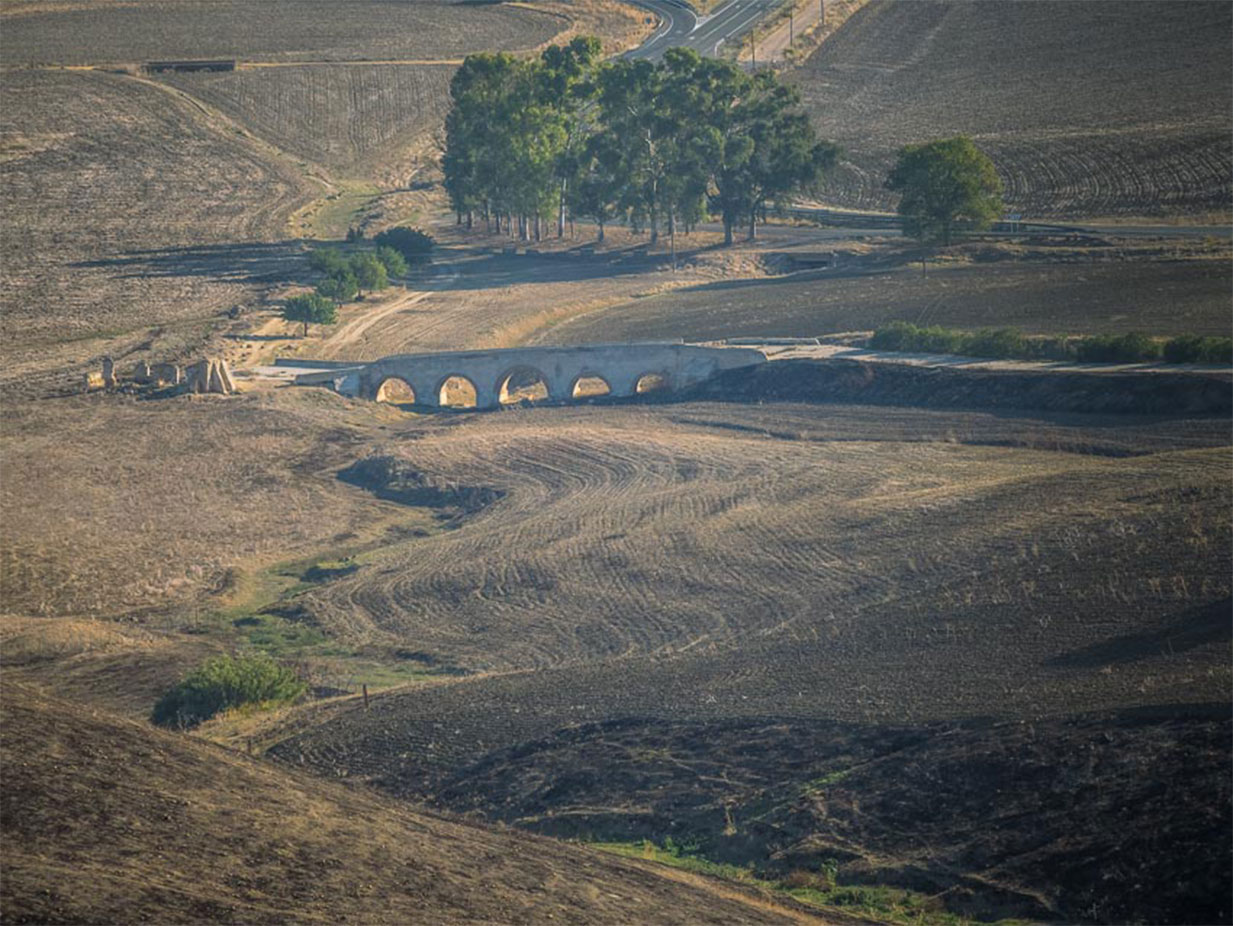
Roman engineers rigorously chose the routes that Roman roads were to follow. Taking into account slopes and other conditions, optimal layouts were always sought and carried out with such a degree of precision and accuracy so as to yield maximum functionality, which still amazes modern engineers. The thousands of kilometers of roadway built followed a meticulous construction technique that enabled them to be preserved for centuries, as well as having a remarkable impact on the landscape, organizing the division of agricultural plots to this day in many European regions.
Without a doubt, the road configuration of today’s Europe is based in part on the first network that Rome designed on this continent. Many European towns and cities have existed since Roman times and many others were founded and flourished at the road intersections that were built to connect the former.
Via Calma
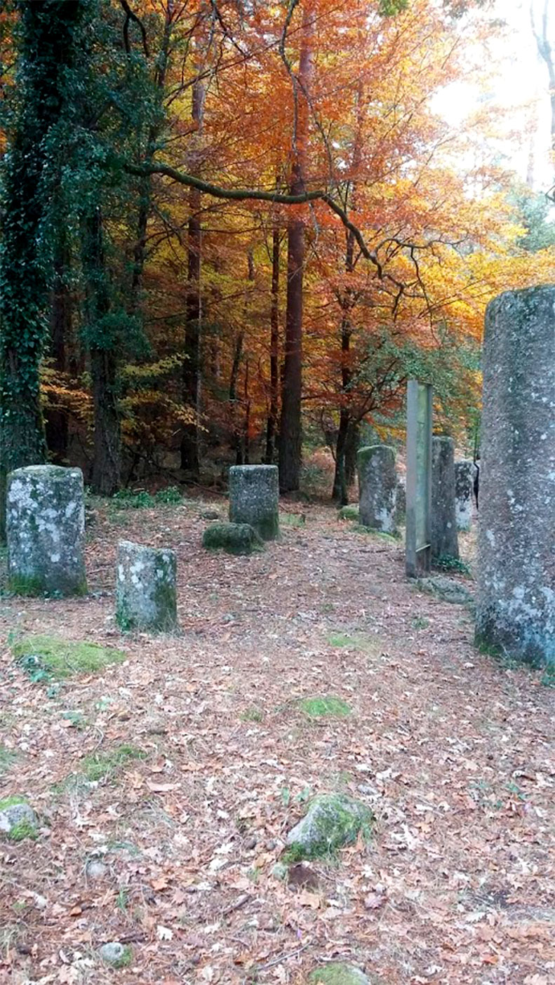
As in other ancient periods, travel during the Roman era required time. Journeys of just a few kilometers involved traveling for hours. Moving so slowly, people were able to observe the landscape, rethink their relationship to their surroundings, converse with their fellow travellers and reflect on life. This was also a sustainable, land-friendly way of traveling. Travelers generated profits and positive dynamics for growth and change not only at the points of origin and destination, but all along the route. These journeys fostered personal enrichment through contact with the local population, with their culture and heritage, offering a perspective on the small differences between neighboring areas, as well as allowing common features to be identified.
Iter Romanum aims to offer a modern take on this “ancient” way of traveling. The journey, traveling, is understood as a quiet, peaceful itinerary which should allow people to enjoy and think about the areas they are traveling through. Travelers, therefore, will be able to leisurely enjoy social, heritage, cultural and gastronomic elements linked to ancient Roman routes, all the while traveling in a relaxed, ecological way.
The roads that Rome began building over 2000 years ago, and that, as we have seen, facilitated connections for thousands of people who lived in the outlying areas of ancient Europe, will now allow us to relive/ a way of life and of traveling which is eco-friendly and closer to nature.
Heritage & Cities
Then again, Iter Romanum is not only about Roman roads. The importance of this network is also based on the rich heritage of all its partners along its connecting routes. Via the network of Roman roads, Iter Romanum links exceptional monumental sites from the Roman past. These sites were founded, grew and evolved thanks to them branching off from the Roman road network, a connection which allowed them to follow the cultural, architectural and social trends emanating from the capital, Rome, as well as from the large cities of the time.
Each of the different destinations was, in Roman times, quite far away from what was considered the epicenter of the Empire. All of them, however, stand out for having common defining components and various special features that link them together. All benefited and grew from the creation of the Roman road network. Both large cities and cities that could be considered secondary and/or outlying used Roman infrastructures to facilitate the transit of armies and people, transport merchandise, take root and consolidate Roman power in the area. However, in addition to this common past that takes all of us participating back to our shared origins, we also find special features in each of the sites that enable us to precisely explain various characteristics of our Roman past. From the role of the Roman army and all it encompassed, its movements and its settling in a certain area, to the benefits of its commercial enclaves, transportation hubs and trade development, many other aspects are examined in Iter Romanum, enticing Europeans to travel and visit, in the ancient way, each of the member destinations.